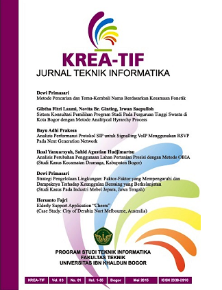
ANALISIS PERUBAHAN PENGGUNAAN LAHAN PERTANIAN PRESISI DENGAN METODE OBIA (Studi Kasus Di Kecamatan Dramaga, Kabupaten Bogor)
DOI:
https://doi.org/10.32832/kreatif.v3i1.97Abstrak
The current development of Bogor Regency
especially in Dramaga Sub-district is very rapidly. Landuse
change activities was occurred by converting forest or vegetation
area, farm field, bareland, particularly in agricultural land
converted into settlements, office cluster and industrial area.
Beside of many methods due to analyze landuse change, remote
sensing is one approach to do so more powerful. Remote sensing
is not only relying on imagery with respected to the accuracy and
quality of data, but also followed by extraction technique with
which is an Object-Based Image Analysis (OBIA). OBIA is one
precisely technique to extract information from imagery by using
multiresolution segmentation based on certain parameters (such
as cale parameter, color, shape factor, compact, dan smooth, etc).
The imagery extraction result by using OBIA provides objectbased
classification parameters thus to calculate precisely the
change of agricultural land (such as farm fields and paddy field)
are converted into developed land.
Unduhan
Diterbitkan
Cara Mengutip
Terbitan
Bagian
Lisensi
Penulis yang menerbitkan jurnal ini menyetujui persyaratan berikut:
- Penulis memiliki hak cipta dan memberikan hak jurnal untuk publikasi pertama dengan karya yang secara simultan dilisensikan yang memungkinkan orang lain untuk berbagi karya dengan pengakuan kepengarangan karya dan publikasi awal dalam jurnal ini.
- Penulis dapat membuat perjanjian kontrak tambahan yang terpisah untuk distribusi non-eksklusif versi jurnal yang diterbitkan dari karya tersebut (misalnya, mempostingnya ke repositori institusional atau menerbitkannya dalam sebuah buku), dengan pengakuan atas publikasi awalnya di jurnal ini.
- Penulis diizinkan dan didorong untuk memposting pekerjaan mereka secara online (misalnya, dalam repositori institusional atau di situs web mereka) sebelum dan selama proses pengiriman, karena dapat menyebabkan pertukaran yang produktif, serta kutipan yang lebih awal dan lebih besar dari karya yang diterbitkan.
Biaya Publikasi
Jurnal Krea-TIF memiliki biaya publikasi Artikel, dengan
Biaya per Artikel : Rp 350.000
Bank Transfer : CIMB Niaga Syariah 761998938200 an GIBTHA FITRI LAXMI
Penulis diharuskan membayar biaya publikasi sebagai biaya pengajuan untuk berkontribusi dalam pembiayaan proses review dan editing.
*Jika Anda tidak memiliki dana untuk membayar biaya tersebut, Anda akan memiliki kesempatan untuk membebaskan setiap biaya. Kami tidak ingin ada biaya untuk mencegah publikasi karya yang layak. Melalui proses seleksi kelayakan tentunya.


.png)
.png)


